Road measurement software
We publish the count and the miss.
Divided carriageway, both directions
26 JUL 2025 · 06:15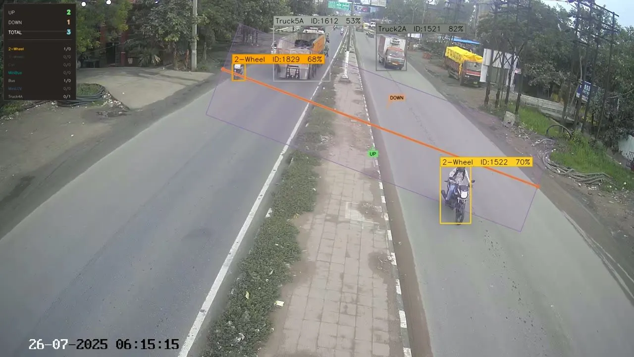
Three sites, Indian arterial roads, live uncontrolled traffic
11 August 2026- Hand-counted
- 16,560
- Counted
- 15,729
- Weighted
- 92.1%
- Volume
- 95.0%
We headline 92.1%, the lower figure. Per-site table ↓
Traffic counting, classification and pavement distress measurement from recorded video. Runs on your own machines, offline. Every number audits back to the frame.
Back within a working day: the classified count, the annotated verification video, and where your camera position is costing you. You keep the output.
The counting line — 19 canonical classes
18 vehicle categories plus Other — see all 19 with their PCU values.
What you licence
Tools that run on your machines
Licensed software, not a metered service. Each installation is bound to its machine and verified offline: no login portal, no internet connection needed, nothing sent out of your office.
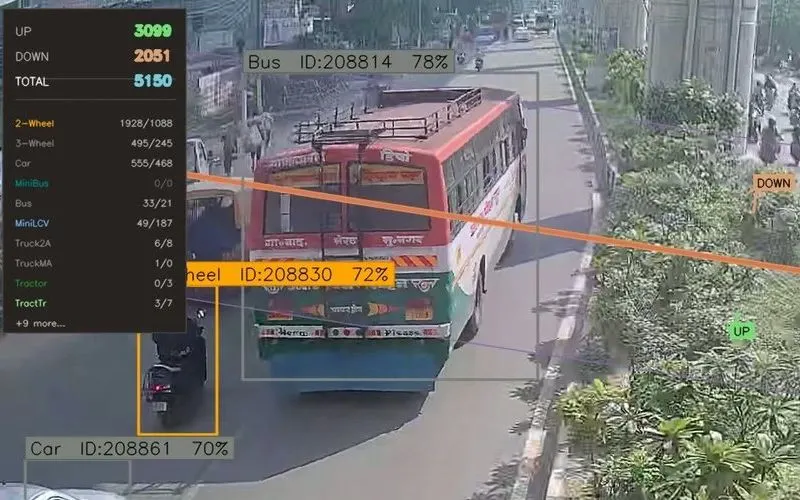 Windows desktop · offline
Playcraft ATCC
Automatic traffic counter and classifier (ATCC) from recorded video.
Available for delivery at short notice.Open →- Windows desktop · offline
Playcraft Distress
Alligator cracking and potholes found and measured in square metres, from survey video.
Deployed with setup support.Open → - Android · offline
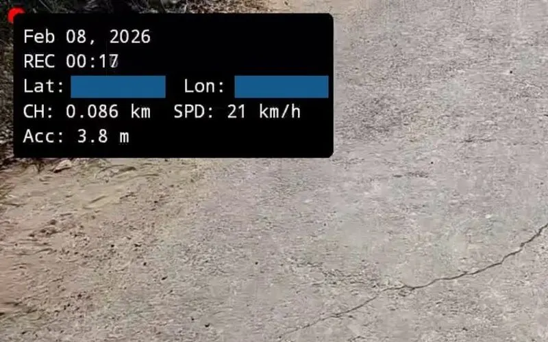
Playcraft Chainage
Chainage-stamped survey video and a road roughness estimate, from a phone.
Deployed with a calibration protocol and training.Open → - Web · per organisation
Airport Pavement Platform
Condition management for runways, taxiways and aprons.
Scoped and deployed per organisation.Open →
Seen running
The class that is easiest to get wrong
A model trained on car, truck and bus puts a five-axle truck and a multi-axle vehicle in the same column. The classes that carry the heaviest loads are the ones a count sheet exists to separate.
Five seconds of a production survey. Nothing here is staged or rendered for this page.
Five-axle articulated truck
10 JUL 2025 · 09:43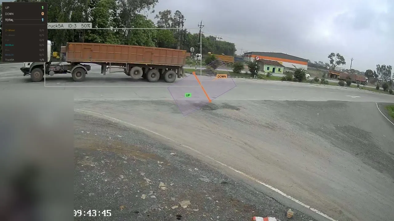
Why the number holds
Accuracy is a method, not an adjective
Anyone can put a percentage on a page. The question a reviewing engineer asks is of what, measured how, against what.
Two figures, both disclosed
Volume accuracy answers capacity and PCU questions. Weighted class accuracy asks whether every vehicle landed in the right column. We publish both and headline the stricter one.
Ground truth is hand-counted
16,560 vehicles counted by hand by an independent survey firm — a separate company, not a separate process of ours. Accuracy is stated against those counts, never against another model’s output.
Thin categories excluded
Any class with fewer than 50 manual counts is marked statistically unreliable and kept out of the headline, rather than quietly averaged in.
We name what degrades it
Pixels on target at the counting line. Between Site A (94 px) and Site C (86 px), 8 pixels of median two-wheeler height correspond to 5.3 points of two-wheeler accuracy.
Three sites, Indian arterial roads, live uncontrolled traffic
11 August 2026| Site | Vehicles | Accuracy |
|---|---|---|
| A | 4,579 manual4,595 counted | 93.0% weighted99.7% volume |
| B | 5,824 manual5,375 counted | 91.2% weighted92.3% volume |
| C | 6,157 manual5,759 counted | 92.3% weighted93.5% volume |
| All | 16,560 manual15,729 counted | 92.1% weighted95.0% volume |
Manual — hand-counted by an independent survey firm Counted — by the software
We lead with 92.1% weighted, not 95.0% volume. Weighted accuracy asks whether every vehicle landed in the right column. Volume accuracy lets over- and under-counts cancel.
For the reviewing engineer
What you hand the reviewer
Four files: two tied to a standard, two that let the reviewer check them back to a frame. These are the real ones from a production survey.
- Format · IRC:SP:19-2001
Classified volume count
19 classes in the 15-minute rows of the IRC:SP:19 count proforma, by direction.
See the real file → - Standard · IRC:64-1990
PCU summary
Factors per IRC:64-1990. Another schedule, such as IRC:106-1990, is set up on request.
See the real file → - Audit trail
Per-vehicle log
Clock time, video position, class and confidence on every row.
See the real file → - Audit trail
Verification video and index
Any 15-minute window scrubs to the frames that produced it.
See the real file →
Also applied in builds on demand: IRC:108-2015 (AADT) · IRC:37-2018 (MSA) · MoRTH reporting. See what we build on demand.
Next step
Send us 15 minutes of your footage
- Classified count, per class and per direction
- Annotated verification video
- A note on what your camera position is costing you
No obligation. You keep the output. Back within a working day.